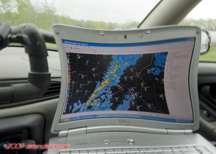
Well that was fun yesterday. Good shear and what I thought was just enough instability to get something going as the dews climbed into the mid 50's. Settled on Willmar, MN as an initiation target. Made it there just in time to have a sandwich and watch the storms go up just west and north of town. A few of them right on the CF took on a nice kidney bean shape and started kicking out a few CG's. I thought "cool, this is going to be OK." Headed out a little north and east of town to put myself in a position to get on the southeast side of the cells then KA-BLAM!!! It was like someone turned on the shower. EVERYTHING went off into a huge blob. I though "well, that sucked." Guess the super cold air which overspread the limited instability was just too much (or in this case too little CIN)and the forcing was too strong. The only good thing is it happened a little over an hour from home.

Tuesday / Wednesday this week looks interesting.

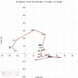
This is the hodo for Chamberlain, SD Tuesday evening along the warm front. Thanks to the people over at twisterdata.com for making these available. Pretty indicative of what it looks like anywhere along the warm front on Tuesday or Wednesday. BIG time link in that sweep. BIG tornado days coming up.

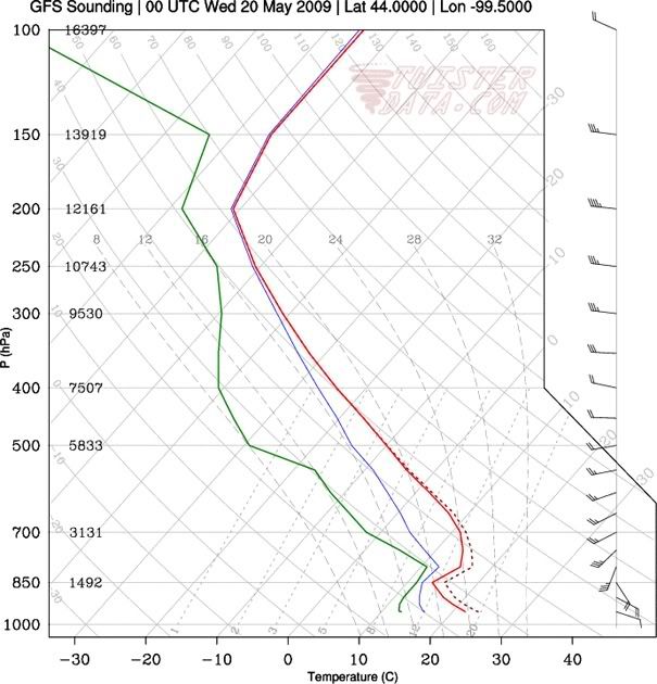
Until you look at the sounding and see the cap from hell. Notta gonna happen. Nuclear proof...game over.

2 comments:
I saw you pop up on SN north/east of Willmar and I was a little jealous with that way that storm started to look. 5 minutes later I was glad I was at home.
That wind last night was brutal, made for a hell of a time having a bonfire...Now we get to look forward to frost tonight and a cap bust two days in a row next week. Storm season '09 is starting off with a bang, eh?
Did you sit on your laptop Bill? :-)
Post a Comment