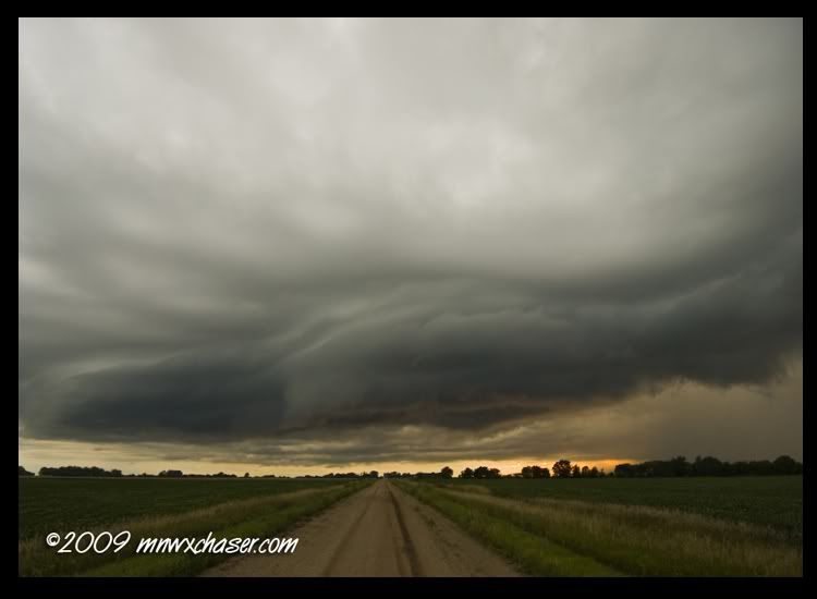
After having the Minneapolis tornado pass just to the east of the office, went out to the new development in Brown and Blue Earth counties. However, once the tornado threat had passed while I was still at work, I headed out to grab something for lunch so I could listen in on MSW. Yup, that lasted as long as the second reportable condition of "calm winds and heavy rain here". I really need to pay closer attention next time I go to class. Evidently what I understood to be a reportable condition has been wrong all along. Oh well. I'm sure once MSW starts testing their spotters to scrap at least the bottom 25%, those reports won't be coming in anymore. Riiiight... At least they got their new activated this time.
Anyhow, I missed the Springfield, MN multi funnel / multi brief touchdown event out in central Brown county but managed to hop on the storm northwest of Hanska, MN. Lots of sharks teeth, wicked vertical motion , etc. No funnels or tornadoes observed by me, but some shady spotter observations on the 146.805. Looks like MPX still needs to get work on the shelf vs wallcloud issue down there. Dinged around down to Madelia as a new cell went up just east of me but I had a good visual on the updraft area so I want too concerned. Headed east on 60 then south at Lake Crystal to about a mile or so west of Garden Center. About this time the eastern storm got torn warned for a public report relayed through the Mankato media. Um, yeeeeeah. About this time MPX called me and I verified there was no wall cloud, no tornado, nothing on the eastern cell. They was a HUGE scud bomb attached to the base that had the spotters freaking out again and one even reported it as a funnel. Thank goodness one spotter who was closer finally reported the scud bomb was not rotating.
It would have been fun to have had data on this storm but I did this one old school with a cell phone, one camera, the 2M/440cm, and Eric Whitehill nowcasting until I was on the first storm. The reason why I say it would have been interesting is with the southeast/east moving storms, there was this weird area where it looked shelfy and outflow dominant to the west but on the eastern end of the outflow, there would be a very small but very intense inflow/updraft area. I've never seen this on two mini sups at the same time. On the cyclic big brothers, it is common along the flanking line (especially right turners), but these little guys acted like they were confused on what they wanted to do. At some point I'll go in at look at the L2 data just for fun.

No comments:
Post a Comment