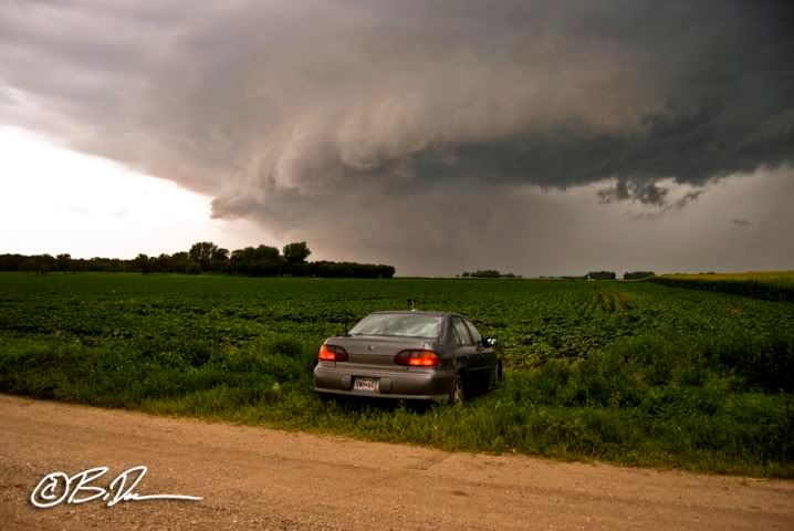
Good head scratcher on the 10% hatched torn risk by the SPC this day. I expected everything to get rapidly undercut by the cold front (including the warm front cells to the east) and see a nice shelf or two on the bowing segments. Even though I got on the pseudo triple point cell up in Douglas county, it was very undercut and going linear by the time I navigated around to the south of it.
Full set of pics and video can be found HERE.
So, from the standpoint of expecting nothing more than linear severe storms to begin with, I'd call the chase a success. I did suffer a minor casualty in a tree branch came flying out of a shelter belt near Cedar Mills and took out the anemometer again. Ugggh, time to break out the wire strippers and soldering gun.

1 comment:
Awesome shot! I pulled into a harmless field entry like what you have and got stuck really bad once. Spun like hell just to creep back to the pavement, never again, always parallel lol.
Post a Comment