I apologize for the photos as I processed them on a PC with an uncalibrated monitor I am not used to so I have no idea what they actually look like. Nothing from yesterday is deserving of a web page so only small low-res images also.
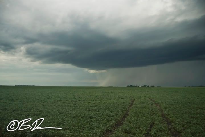
Elevated base south of Johnson, MN in Big Stone County.
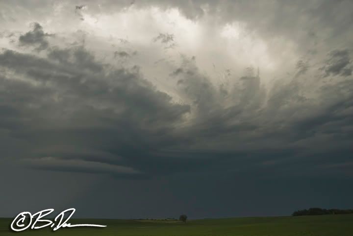
This thing went from so-so to junk within 15 minutes of getting on the cell.

It did have some cool inflow striations for a bit as the updraft base dissolved as the storm ran into more stable air and one heck of a capping inversion to the east.
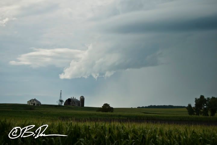
This is NOT a wall cloud. This is what is left of the entire updraft base before it orphaned out southwest of Morris, MN.
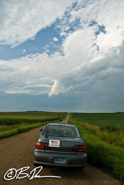
Totally dead now..and a little shout out for the TVN crew!

No comments:
Post a Comment