Full set of images are on the website and can be seen HERE.
Really bad upper dynamics limited the severe possibilities but a multicell complex did organize and sporadically dropped some 1" hail and some gusty winds. Was dinging around with a garage project of building a boot rack during the afternoon and periodically check vis sat and radar as by looking at the Cu, it was pretty obvious initiation was going to occur somewhere between 3 pm and 4 pm. Speaking of the boot rack, I don't know about your house but with our ultra active outdoor lifestyle our family has, we have two areas of footwear explosions. One in the entryway for the "regular" shoes, sandals, etc. The other (and worse) area is in the garage right by the door which leads into the house. Barn boots, cowboy boots, ropers, work books, hunting boots, hiking boots, cold weather boots... x5 residents. You get the idea. Hence the need for a 4 ft tall, 3 foot wide, 16" deep custom home for all of these.
Anyhow, back to the storms. The cluster went severe for hail and potential winds just over the 58 mph threshold. Neither of the teens wanted to go check it out so as usual Cailyn was willing to go with. Only had to head down between Watertown and Winsted in Carver county. Along the way a couple of small cells went up and dropped some torrential rain and small pea sized hail.

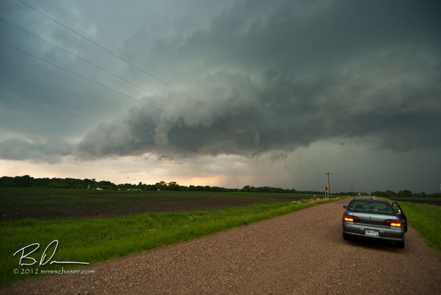
Cailyn and I watching a small shelf cloud off CR20 west of Watertown, MN. When it passed over, the winds gusted to 53mph sending my hat and shades flying down the road. I had my live video stream running on TVN Weather so I'm sure a few people got treated to the chase of the hat. Pretty funny.
A little video. Have a lot of new small hail dents from the 1" stones. One sunny day and they will pop out on their own.

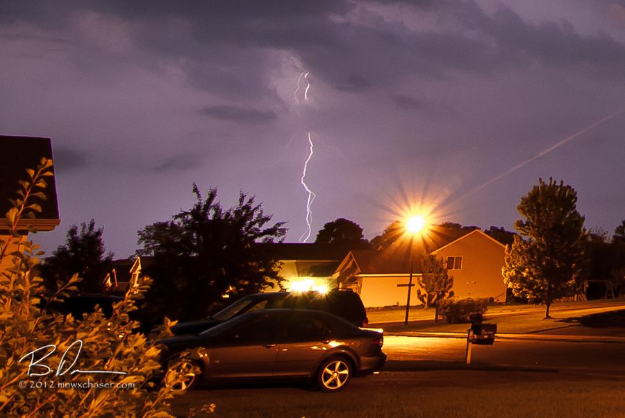
After the cold front passed, the temps dropped about 20° and some post frontal storms did form. The were sub severe and the lightning ops were not good with all of the cold air advecttion low level crap streaming out of the north behind the cold front.

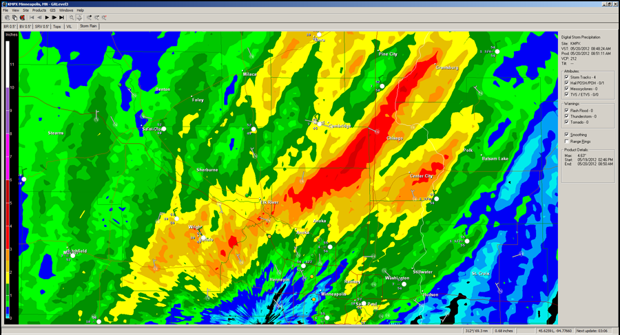
The plus side was some good rains fell from out place off to the northeast. That will help keep the rivers charged for some good kayaking over the next week or so.
May 18th!
With the above mentioned cold front out in the Dakotas still, a pre frontal trough triggered some little hailers. The Wright county storms didn't do much but one out in Kandiyohi county near Wilmar did drop some good hail. Check out Doug Kiesling's video HERE.
Here is a short time lapse shot near Big Lake, MN. Again, Doug was in the right place at the right time to get a nice daytime lightning shot off the same storm.

Final shot. Well, actually video frames. One off the GoPro and one off the M50U of the same lightning strike.
Nothing impressive but considering over the two days never got more than 20 miles from home it was ok. Looks like a much more active week coming up especially towards the 24th and 25th so stay tuned!

No comments:
Post a Comment