The National Weather Service from Duluth has an excellent write up on their page which can be viewed HERE.
I spent the afternoon of the 23rd checking out the dam on the Mississippi River at Little Falls, Royalton (Blanchard Dam), and Sartell. The river flow has been very high since the big May precip event but what I saw still impressed me. As the runoff from the heavy rains near Grand Rapids started pushing south the flow jumped from about 18,000 cubic feet per second to nearly 25,000 cubic feet per second with the forecast to exceed 30,000 cubic feet per second.
I'll get to the photos in a second, but watch this short video first. The stills do not do just as to the power of this war of water.
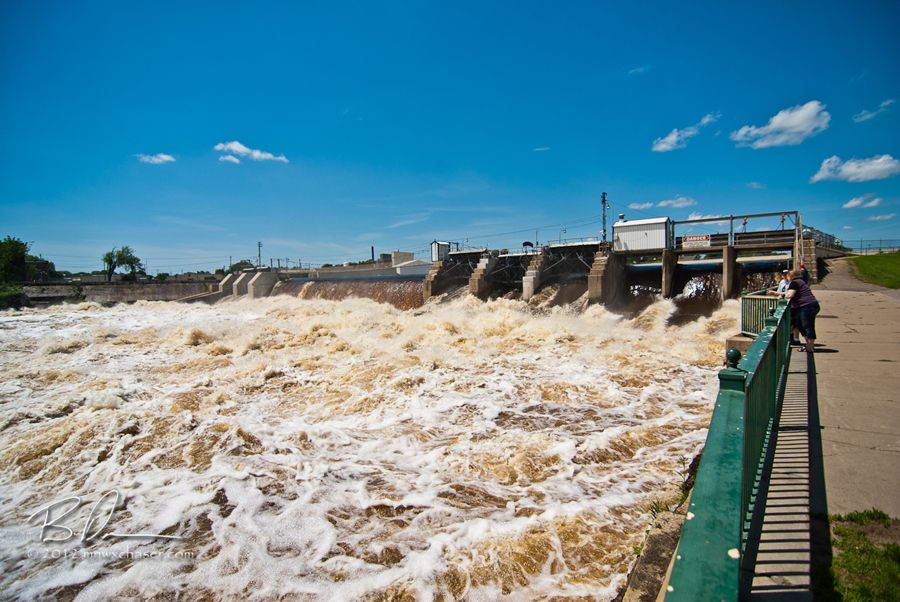
The dam in Little Falls, MN on the Mississippi River.
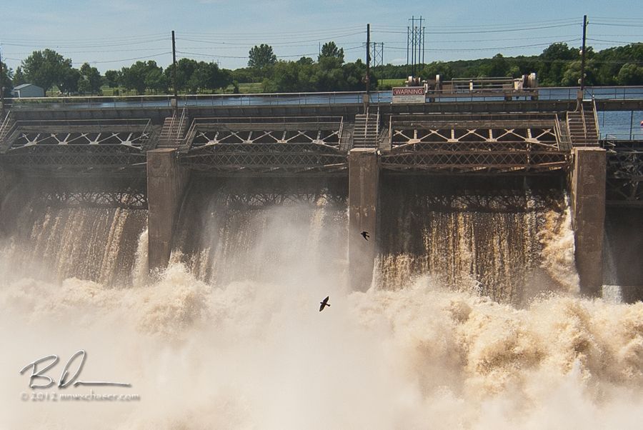
Blanchard Dam near Royalton, MN. Note the two crows crossing through the frame!
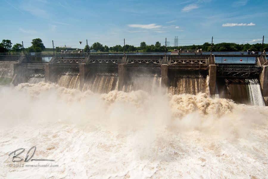
Blanchard Dam.
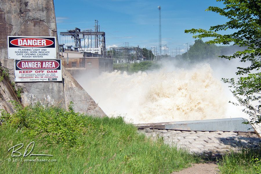
They mean it. This water is FAST and VIOLENT! Need to take great care when getting close. You watched the video already.....right?
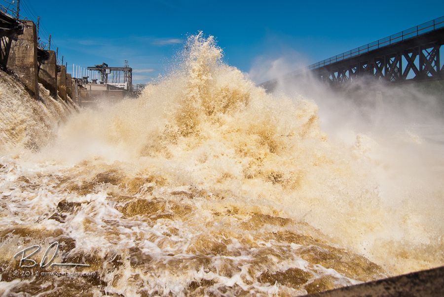
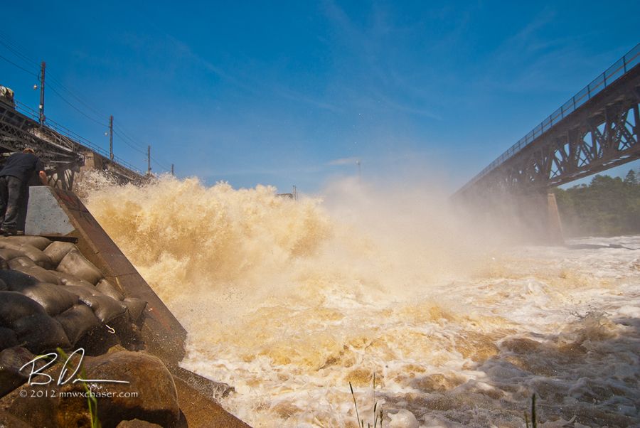
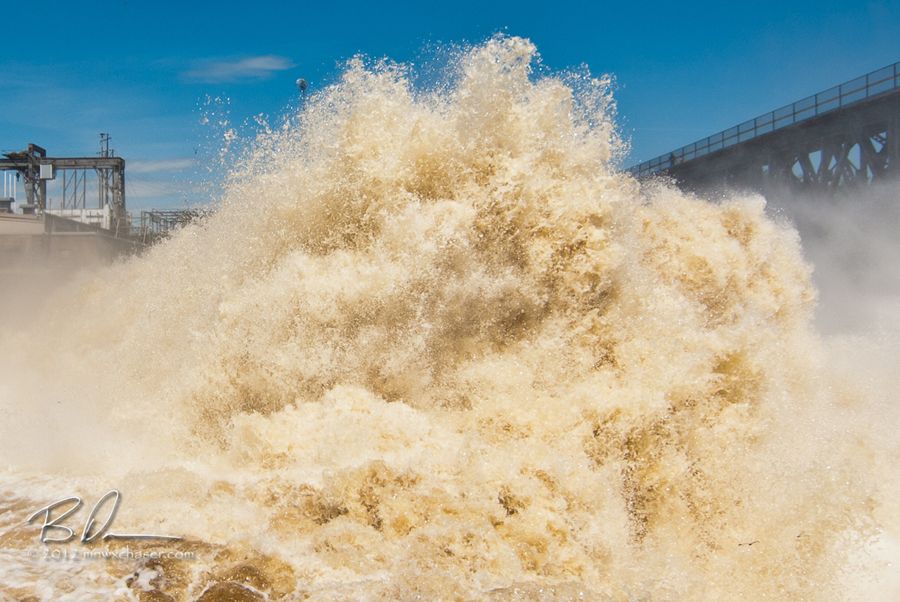
These images do not do justice as to the size of this wall of water below the Blanchard Dam. 30 feet high at least!
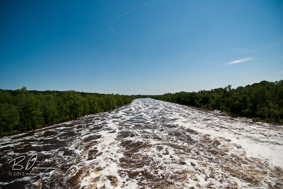
Looking downstream from the rec trail bridge below the Blanchard dam. Frothy whitewater as far as one can see. Definitely a good idea NOT to try paddling this right now.
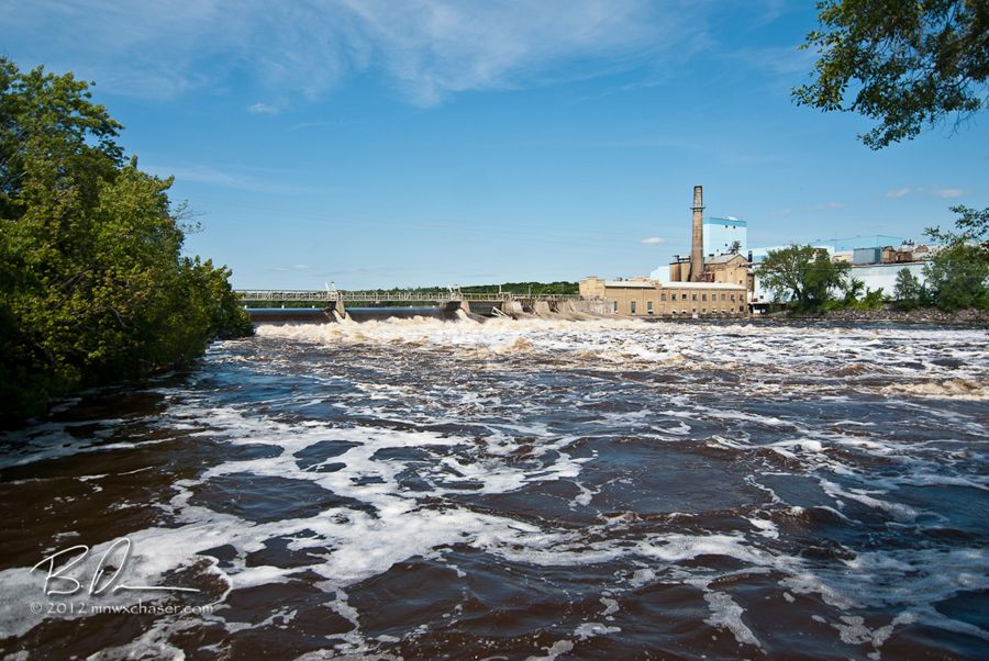
Wrapped up the day in Sartell. More of the same. Incredible flow with deadly currents.
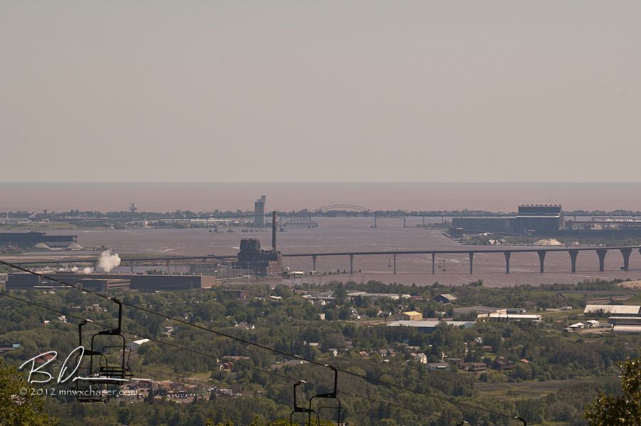
Sunday the 25th I headed up to the south side of the Duluth area on the St. Louis River. I really wanted to get to the Thompson dam but law enforcement has a perimeter set up which doesn't let anyone get even close. View is from the Spirit Mountain ski area looking north / northeast at Lake Superior which is now stained red from the runoff. Pretty hazy this day so not the brightest of colors in the image.
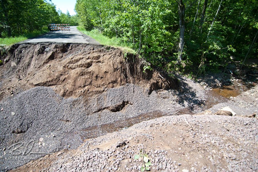
Thought I might be able to find a back way in to Thomson by snaking around Skyline Drive...good idea until I was met by this. Probably 25 feet deep.
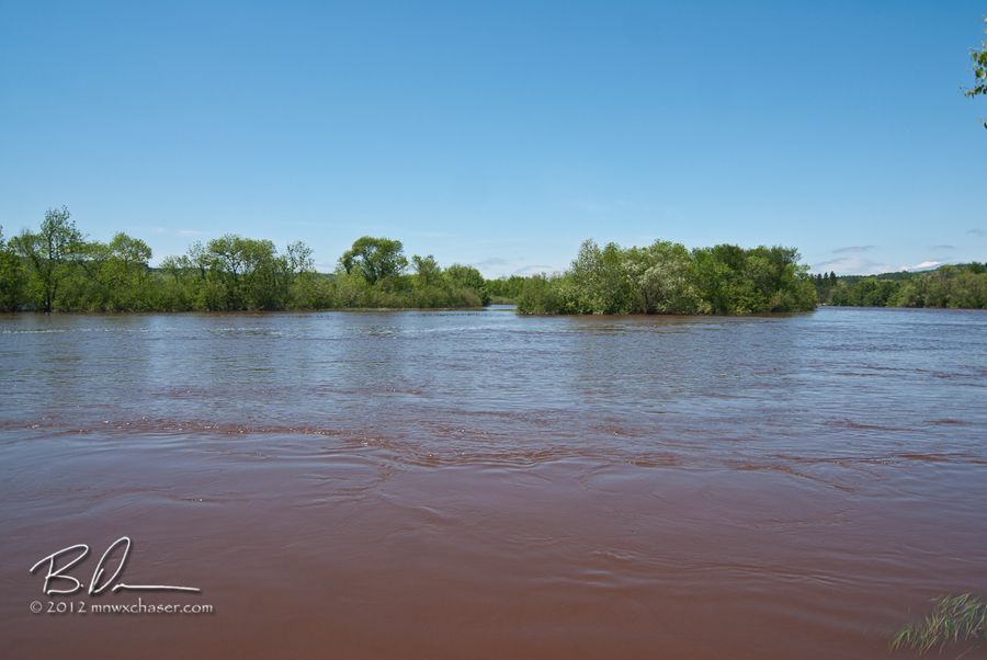
Near Gary I was able to find a spot to get some shots of the St. Louis. Crazy red color as compared to the usual tea color. The sheriff department had 23 blocked so I decided to just head back to Scanlon, MN to get some basic shots and head home.
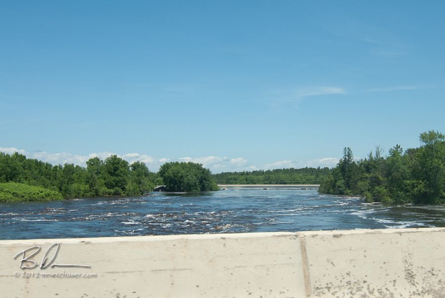
Looking upstream from I35 at the country road 61 bridge.
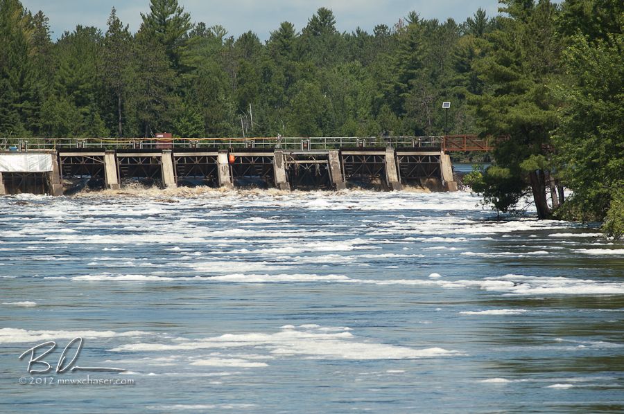
The dam in Scanlon. Wide open.
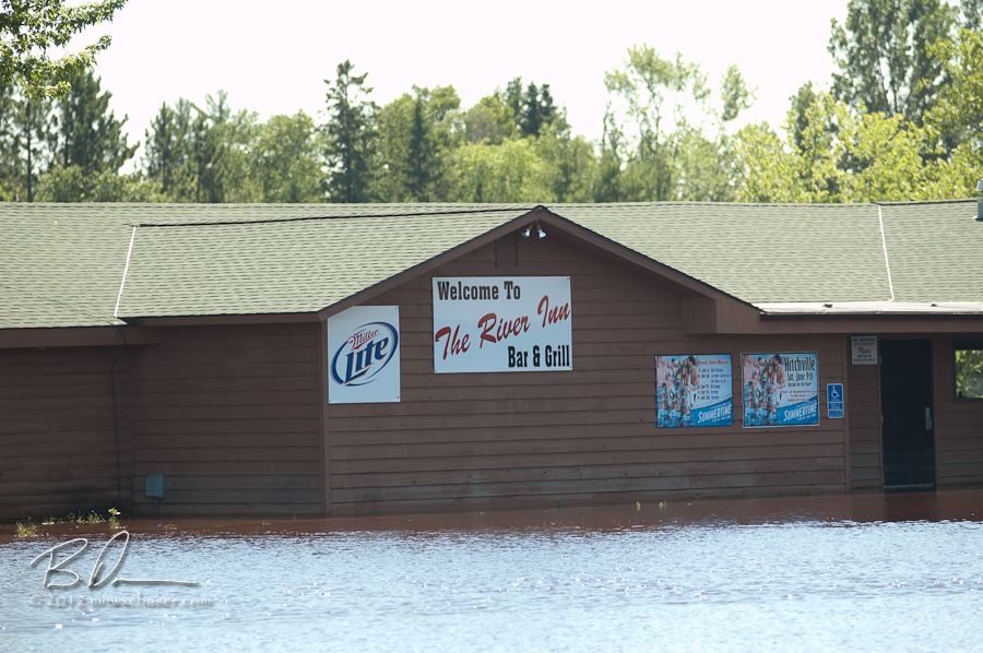
The River Inn is in the river at Scanlon.

Stitch pano showing some of the flooding in Scalon. With access to the good stuff restricted, decided to head for home and make a stop in Sandstone, MN to see the Kettle River.
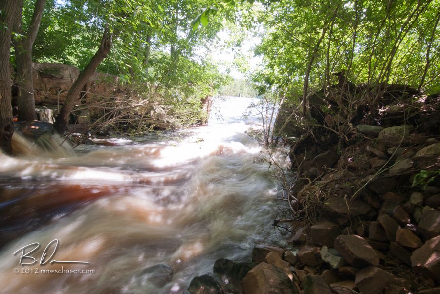
What is usually a small trickle of water off to the side of the main channel of the Kettle in the park at Sandstone.
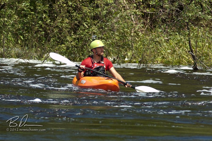
The fast water was keeping some of the die hard paddlers off the river. I didn't get a chance to talk with these guys. I was wondering if they came all the way down from Banning State Park. I bet that stretch was a little nutty!

And the deer are still just fine!
A HOT and dry week coming up so don't look for much in the way of weather entries here for a while! Maybe an egg cooking on a sidewalk or something!

No comments:
Post a Comment