On 5-29-13 we had a MCS/MCV which pretty much killed the potential for severe storms later in the afternoon but there was a warm front lifting across Minnesota and a mesolow formed along another SW/NE orientated boundary near the MN/SD border. I headed out near Montevideo with hopes small cells would form in the warm sector and the H7 winds blowing from south to north would carry them across the boundary with a huge kick in helicity.
The first cells went up just southwest of Montevideo and I drifted to the north with them. At times the cells would curl back to the northwest.
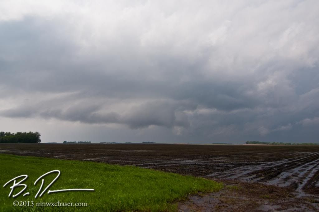
They weren't much to look at. Very little lightning, no hail, no winds....but.
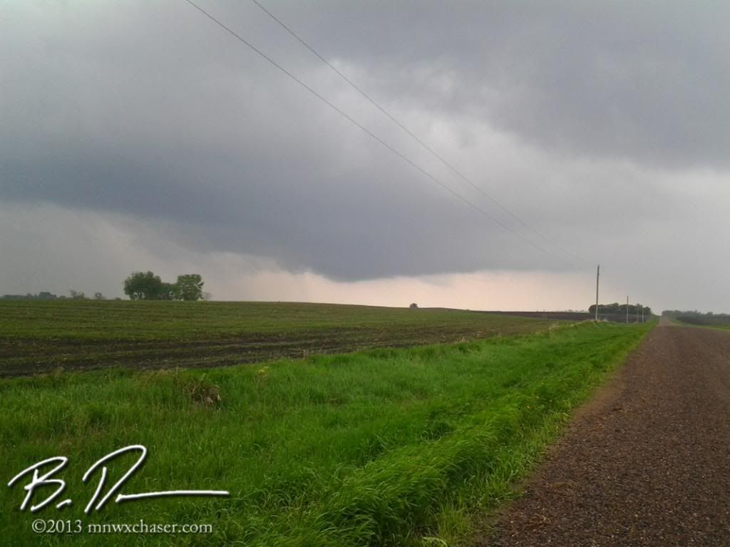
After watching a half dozen or so small cells cross the boundary and puke, this cell caught my attention as it approached highway 40 west of Willmar and south of Kerkhoven in western MN. Hard to deny the bowl shaped lowering under the base. This cell got a running start spinning at the low levels before it hit the warm front. I was on the phone with Eric Whitehill at the time but had to drop the call as things were rapidly getting interesting finally.
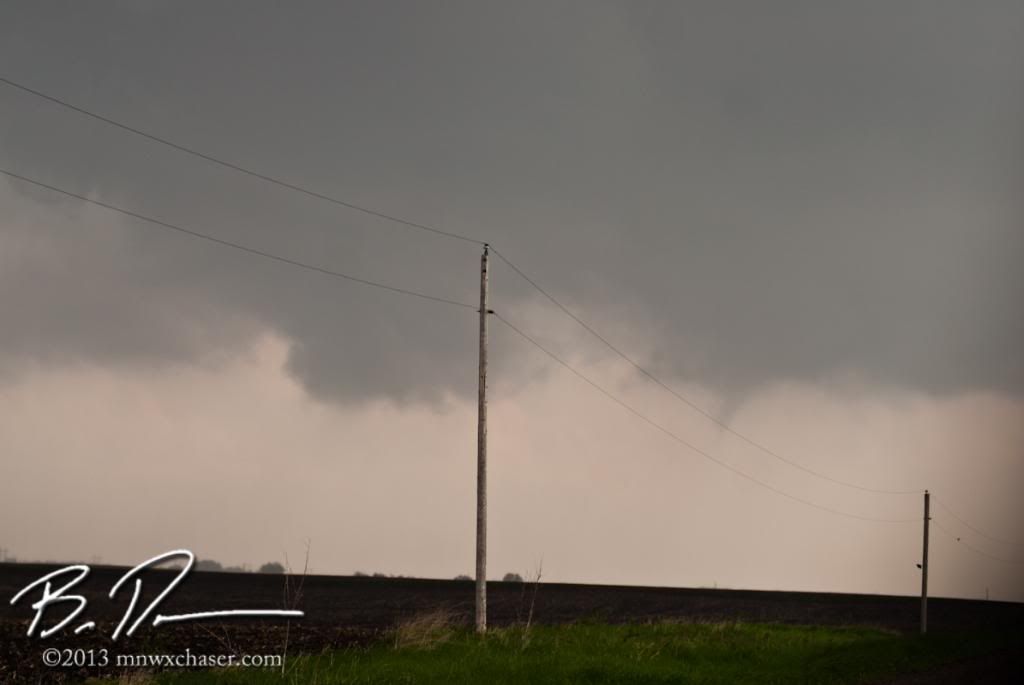
As the cell approached, the low level motion in the base really picked up. I was sitting in surface winds almost due east. Perfect position.
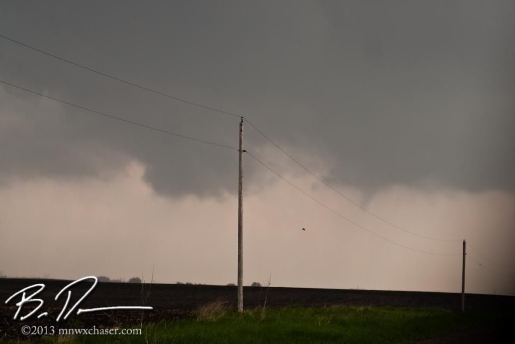
C'mon, c'mon, c'mon...
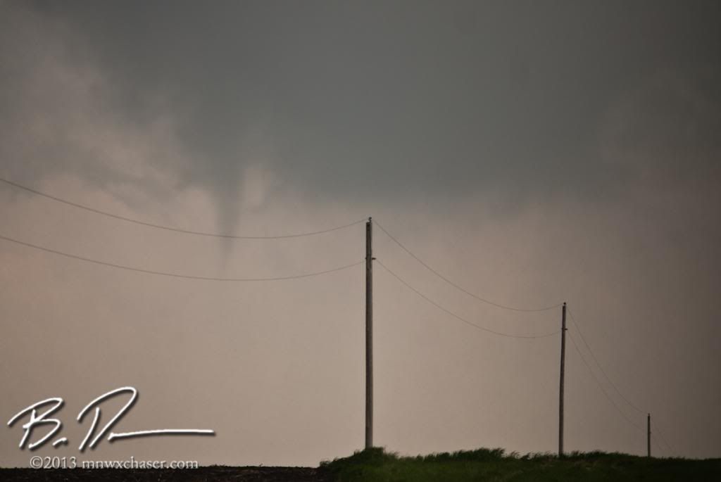
There we go! A funnel. It was weak, but still a funnel.
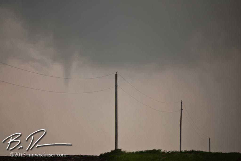
It didn't last long and never came in contact with the ground that I could tell.
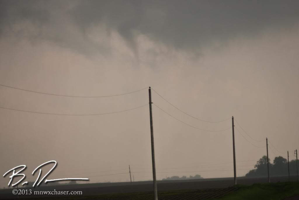
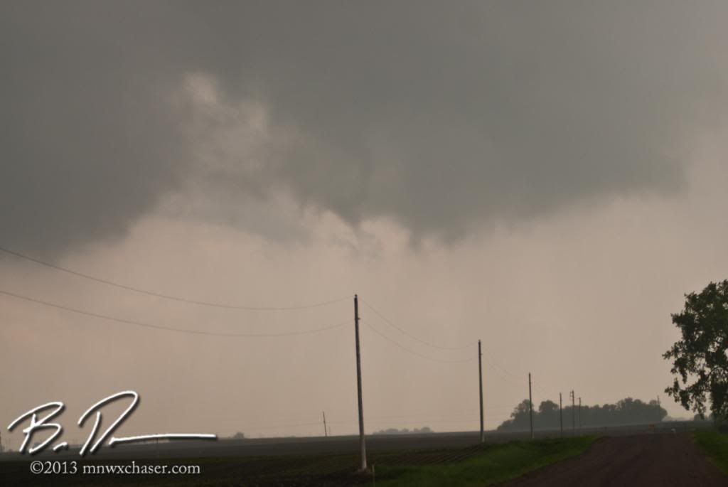
Snakey as it dies after crossing the boundary.
I didn't report it since I knew once the cell crossed over the warm front there would be no threat of it producing a little spin-up or anything. Why issue a senseless tornado warning on a thundershower? Eric didn't believe me so I texted him a pic of the LCD on the DSLR lol. I also called John Wetter to see if he was at MPX but left him a message and also sent him the same text as Eric. He called back a few minutes later and said he was heading into the office and they were concerned about the possibility of brief, weak tornadoes given the parameters of strong shear and abundant 0-3 km CAPE in excess of 100 jg/km. Anyhow, my point is if you like the challenge of looking for a needle in a haystack, I would suggest reading some the the case studies where the importance of 0-3 km CAPE is discussed in regards to tornadogensis. A simple Google search will get you going. I HIGHLY recommend anything written by John Davies or Rich Thompson.
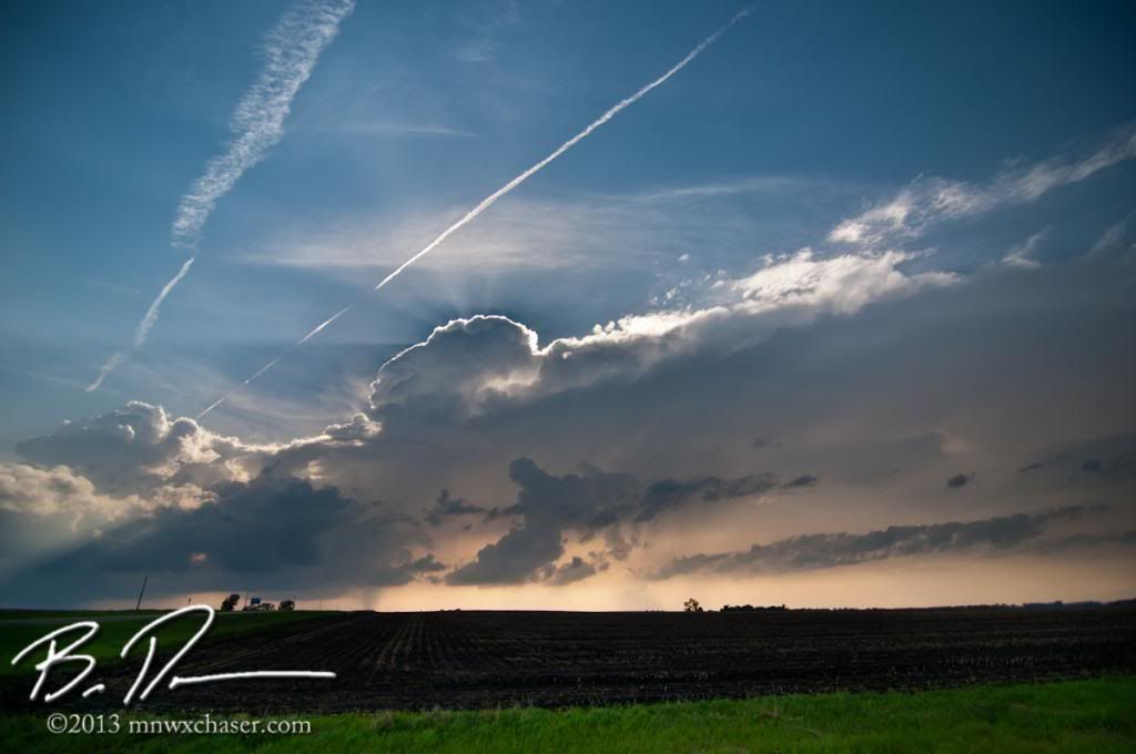
Ended the day watching a cell between Appleton and Madison out in Lac qui Parle county. Not bad for a day with no MD, no watch box, no warning...but a warranted 5% torn risk as designated by the SPC.

No comments:
Post a Comment