Anyhow, here are some images and video frames from "for fun" outings this weekend close to home base.
Saturday had a weak surface low coming out of SD with a subtle warm front draped across western in central MN. My initial target was Glenwood, MN but a couple of cells went up near Wilmar which had me drift west instead of northwest. Those cells puked with the weak shear but new cells fired along and just south of the warm front. After hanging around south of Lake Minnewaska for a bit, one cell just to my north went severe warned as it interacted with the weak boundary. With storm motions only 10-15 mph and being in Starbuck, MN it was easy to head north of Holmes City in Douglas county to take a look at the updraft base.
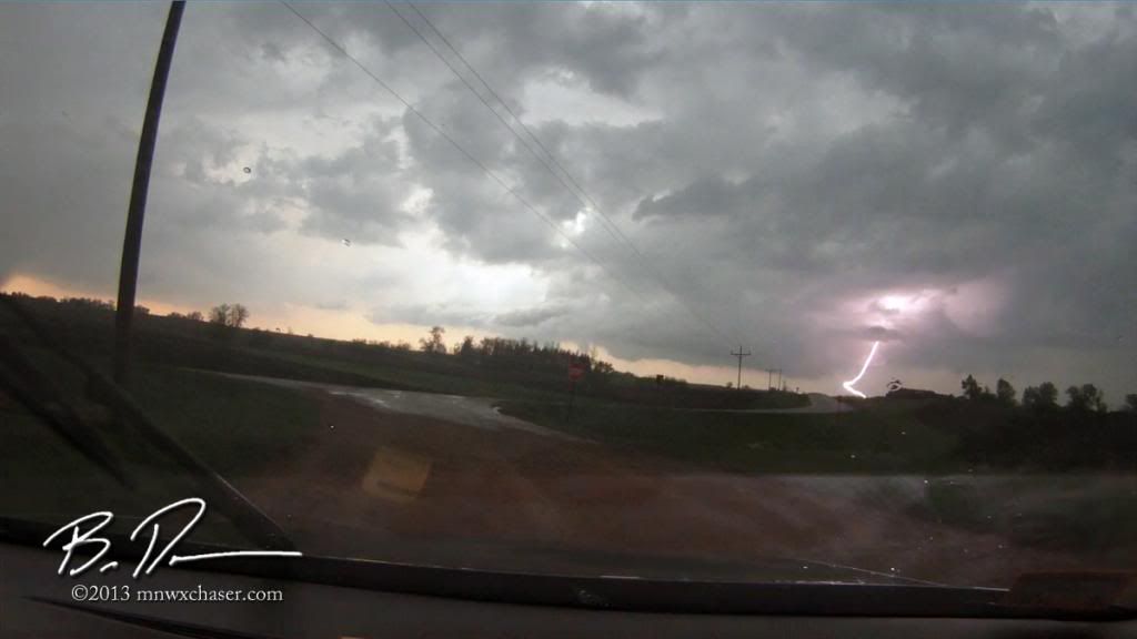
One of the few CG's of the day. Video frame off the Midland XTC 300 dash camera.
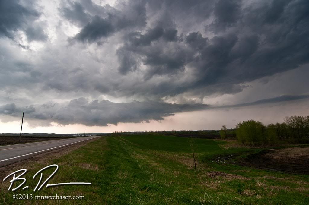
These were not "pretty" supercells by any stretch. They were soft, scuddy, and messy for the most part. There was a funnel cloud reported off this cell but I have my doubts as I saw very little, if any, spin with these storms. Lots of scud getting pulled up as the updrafts would pulse before collapsing with the weak shear. This was taken about 7 miles south of Brandon, MN looking north/northwest.
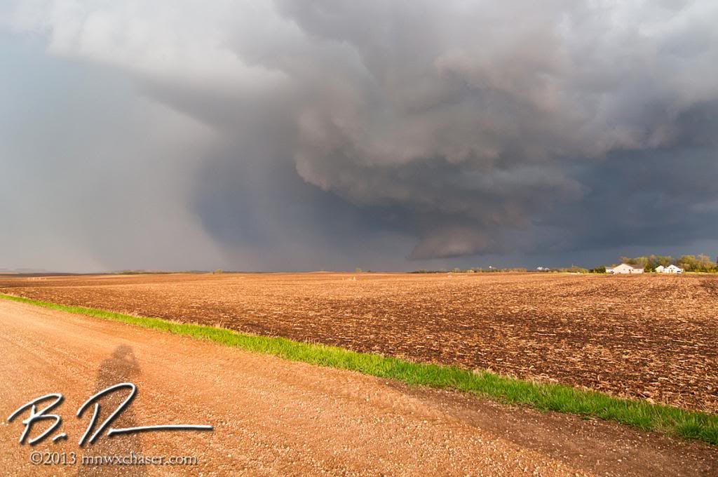
Storm #2. Taken from north of Hoffman, MN in Grant county looking southeast at a nice blocky wall cloud. Kind of cool light with it being clear to the west on a north / northwest moving storm.
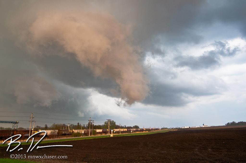
The only thing I saw which did spin...for about 30 seconds. On the south side of Hoffman, MN. Still had the cool light to work with.
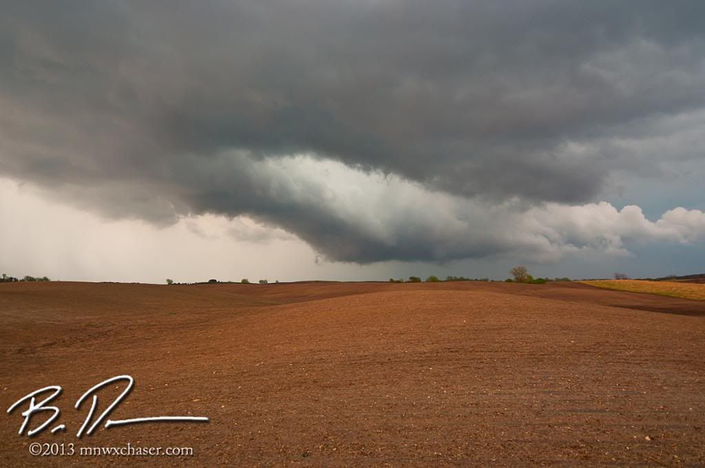
Just east of Hoffman, MN on the last cell of the day. Sick clear slot. This had a nice wall cloud from time to time but it never sustained. Again lots of scary looking scud danglies but nothing remotely tornadic.
Sunday was even a bigger mess with a north moving MCV/vort max flying out of Iowa to the north. The SPC threw up a low end torn box. I was doing errands with the family so got a late start. I broke my "east of 25 rule" and tried to get in front of the arc of storms flying north/north east at 50+ mph. Yeah, not real productive.
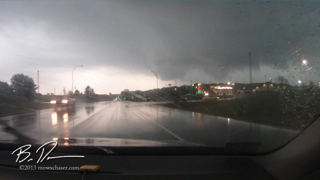
The only action area of interest of the day near Northfield, MN.
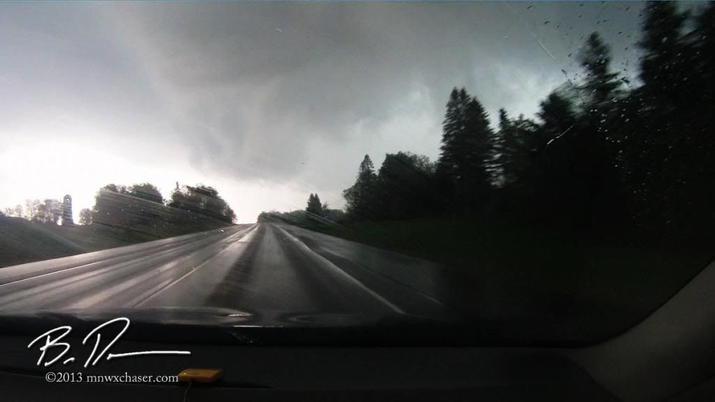
Tried to get east of it as it gusted out. The video is crazy how fast this transitions into a shelf and rockets past us off to the north.
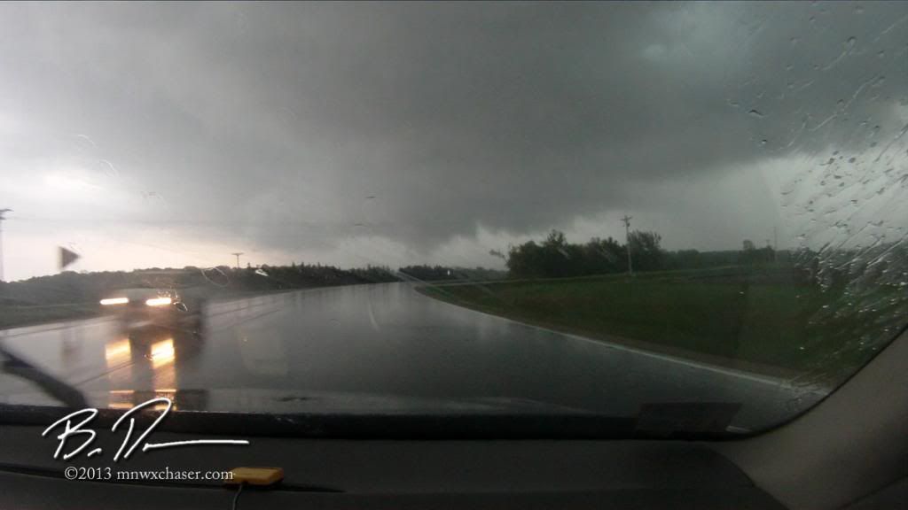
More shelf action as I tried to get east ahead of the arc.

Called off the chase as I was skirting the bluff country west of the Mississippi River and tried to head home through the metro area on the back side of the arc and blinding rain. Someone didn't fare well as an accident left vehicles on both shoulders of I35 on the south side of the metro. A slight delay to the end of a rather disappointing outing.

No comments:
Post a Comment