We did not go into the burn area in 2011 but here is a great set of photos on the MPR website.
It's easy to put words in this blog....so I'll let the images do the talking. The before shots are from late September 2010. The current images are from the 3rd weekend in September of 2013. Pretty stunning. This forest seems like it wants to recover faster from this fire than the burn resulting from the Ham Lake fire 2007. In that fire, Stephen Posniak was charged in federal court with starting that fire, but took his own life on December 16, 2008 instead of facing his trial which was to begin January 5th, 2009.
Anyhow, back on track. The images from 2010 and 2013.
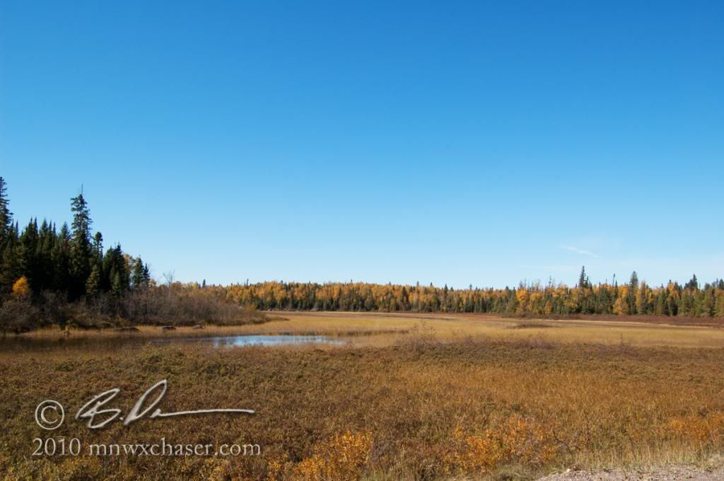
Isabella River 2010
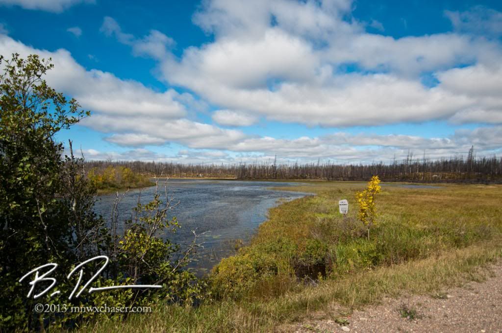
Isabella River 2013
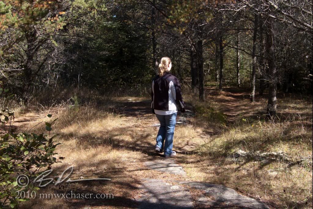
Trail 2010
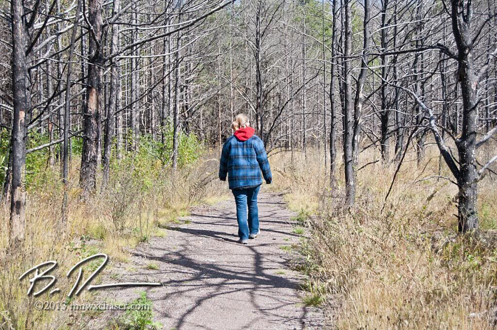
Trail 2013
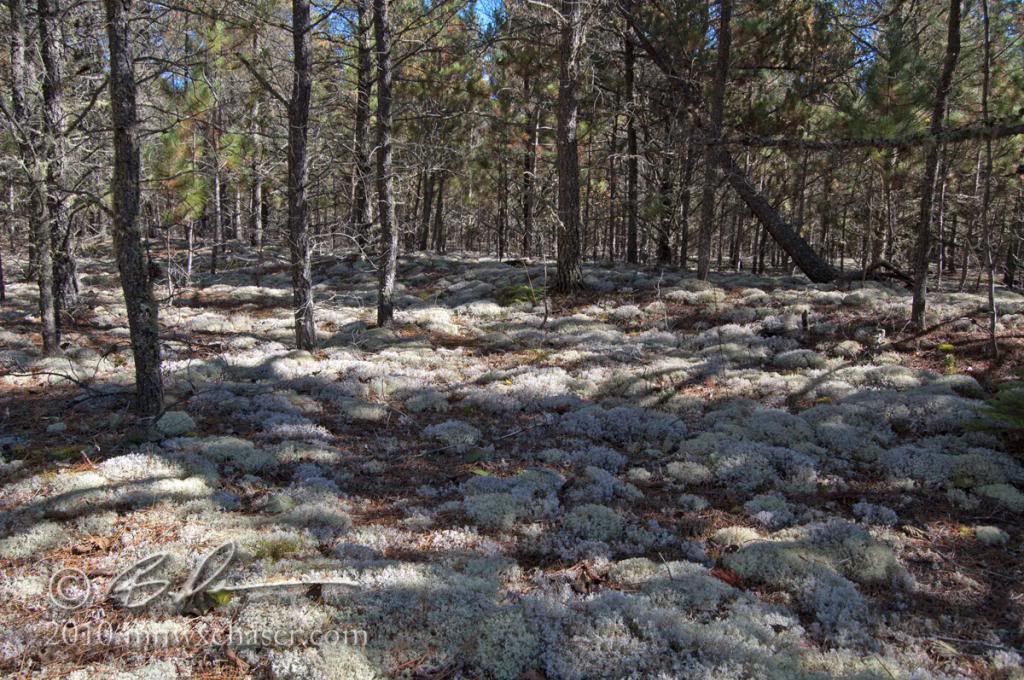
Lichens 2010
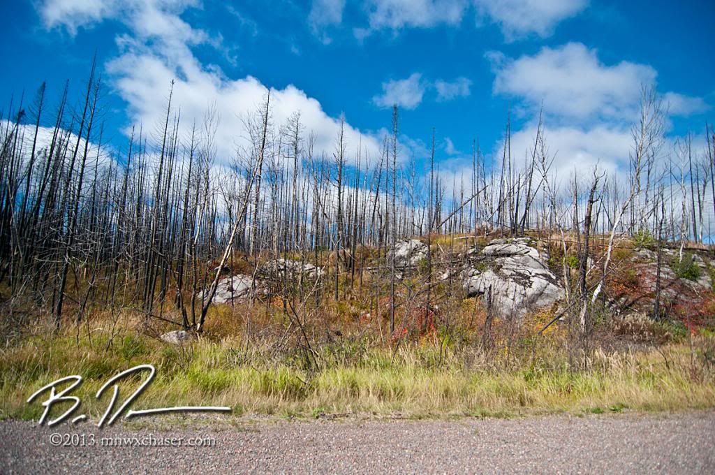
No lichens 2013
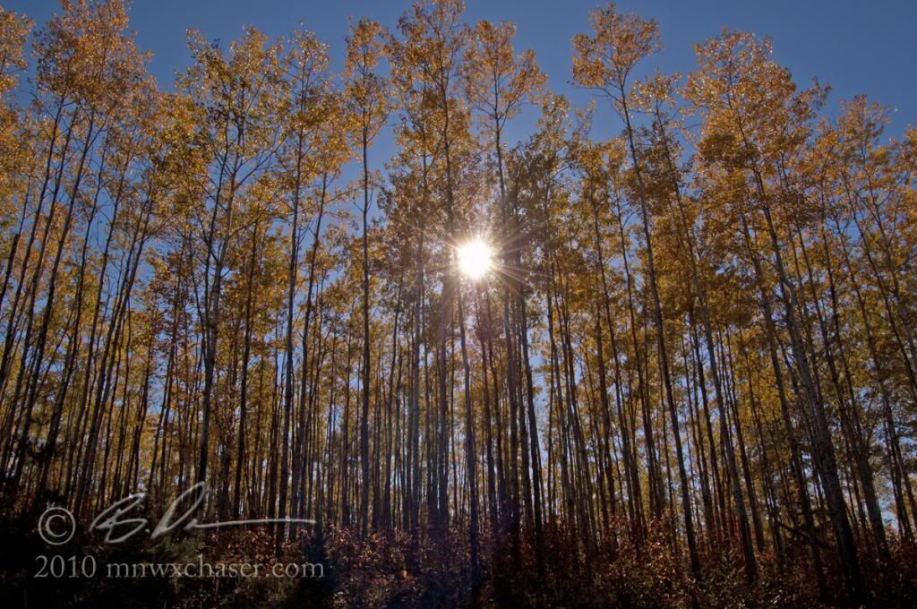
Stand of timber 2010
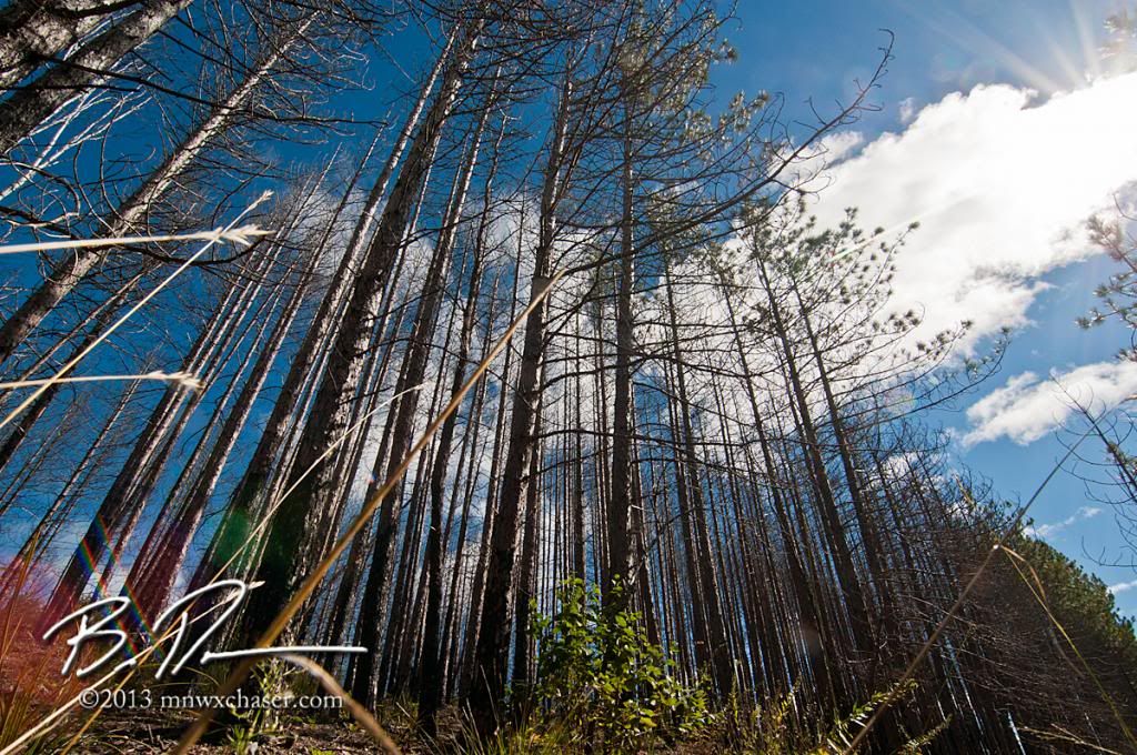
Stand of timber 2013
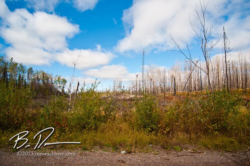
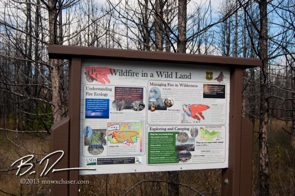
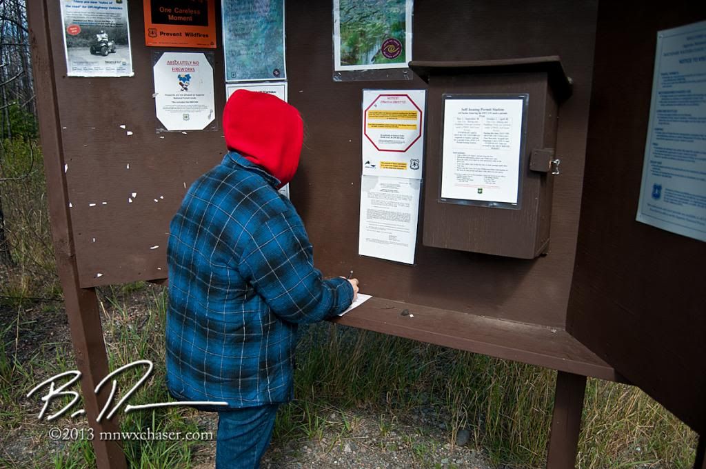
Here are the rest of the shots from 2013
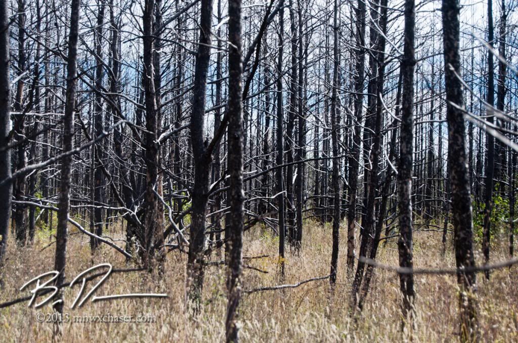
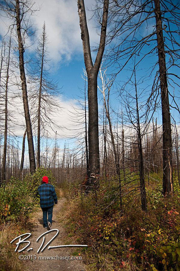
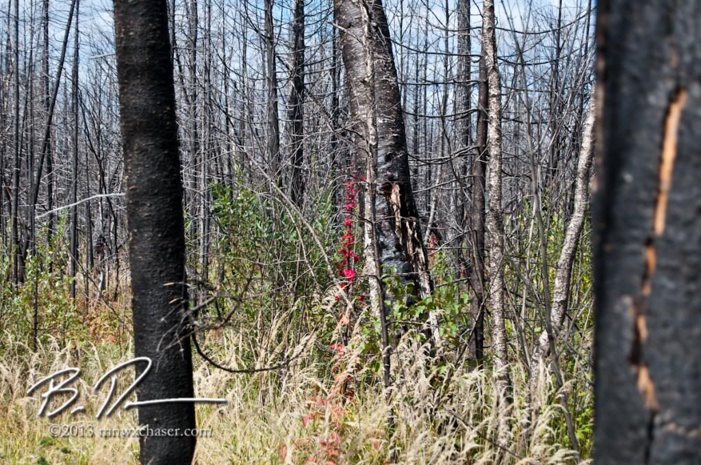
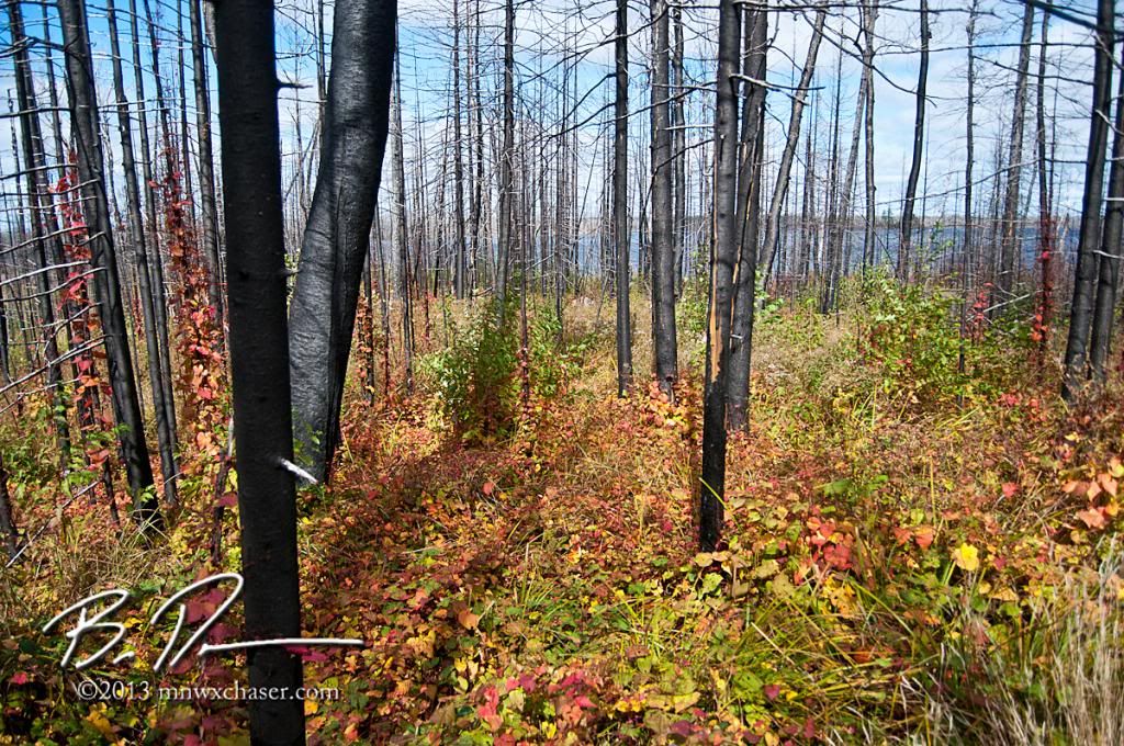
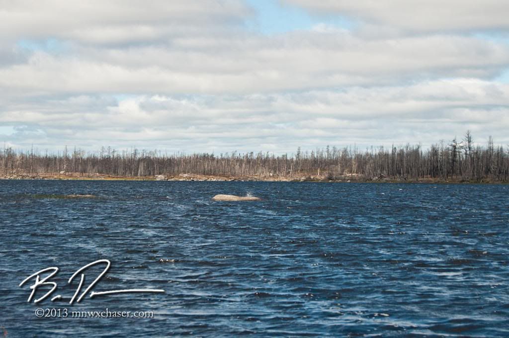
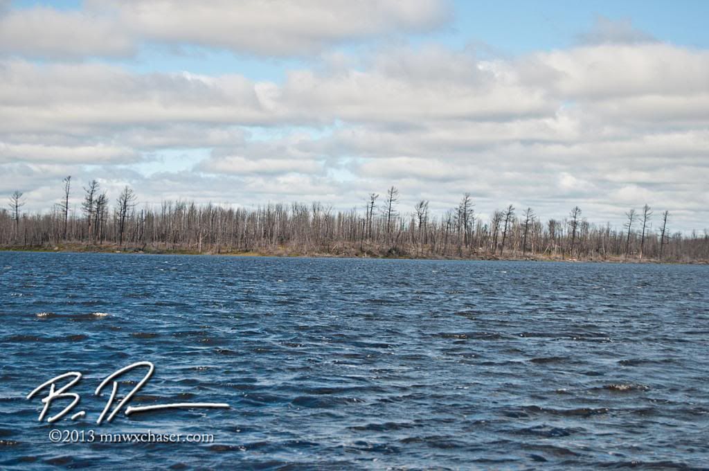
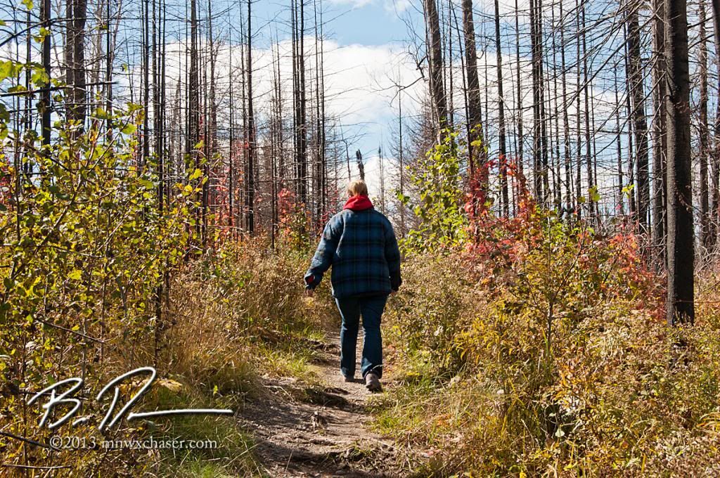
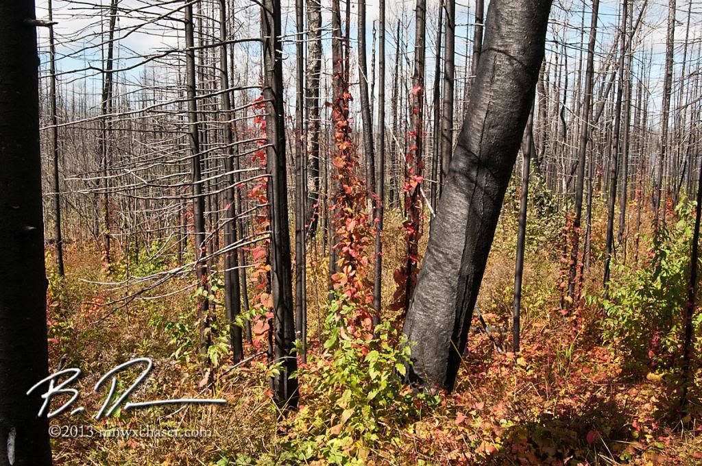
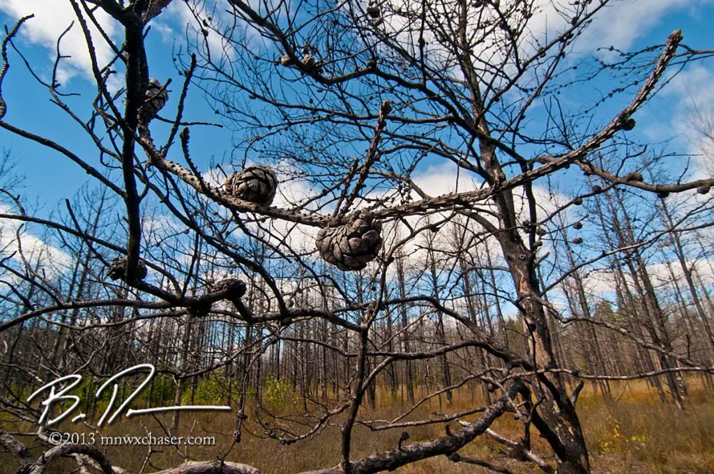
The final image represents the seeds for the future. If you looked hard, there are already baby pines taking hold of whatever soil there is. Those will be the trees my kids will hopefully enjoy long after I'm gone.

No comments:
Post a Comment