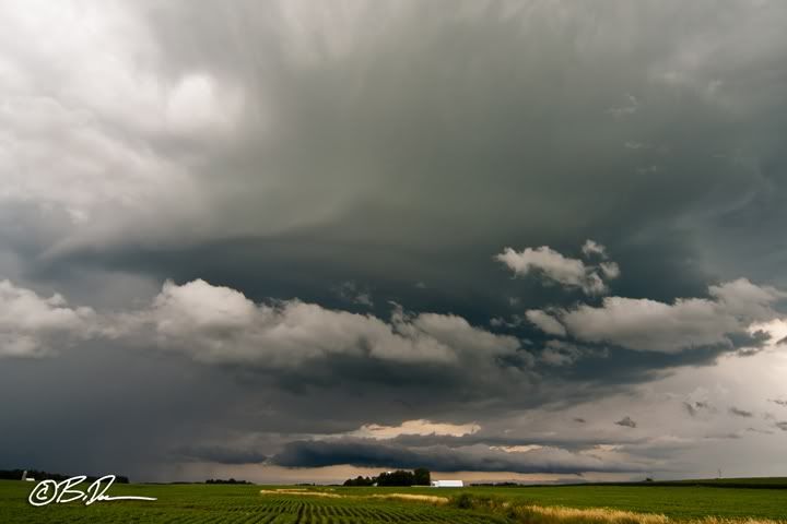
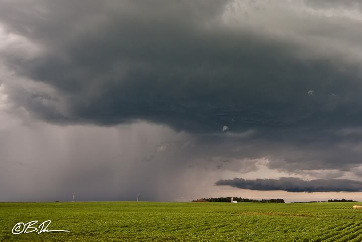
Once everything cleared out, elevated storms re-fired over central MN in the early afternoon.

If you look closely right at the horizon in this shot, you can see the cold front approaching from the northwest.

The hail core cometh... Hung around northwest of Paynesville, MN for a little while watching the super high bases pass by to the east. The hail was not large enough to meet the severe threshold as far as we were aware.

Headed south to where the outflow boundary was lifting back north as a pseudo warm front but there was ZERO surface winds. Near dead calm. Stopped in New Ulm, MN for a bit and watched as the cold front crept closer and closer. Hermann the German is one of the attraction in town.
Headed home about the time the cold front caught back up to us. Despite obvious surface convergence on visible satellite imagery, I had seen enough. Just as we crossed back over the Minnesota River, the convergence finally overcame the cap near Windom, MN. I had very low confidence in anything severe would become of it so just kept heading north and home. I wished I would have stopped near Norwood / Young America, MN as we crossed another outflow boundary which was also experiencing convergence from the cold front butting up against it. Looked reaaly cool with a long line of striations from east to west looking south. Oh well, at the time I was not a big fan out outflow boundaries.

No comments:
Post a Comment